I first encountered a project like MemoryMap while researching community archives for a feature about contested neighbourhoods in post-industrial cities. What struck me was how a simple interface — a map, a few upload buttons, some tagging — could become a site of return. For displaced communities, lost property histories are not only about deeds and blueprints: they are about memory, identity and a claim to the story of a place. A neighbourhood archives app designed with care can help people assemble that story in ways state archives and legal registries rarely do.
What a neighbourhood archives app can actually be
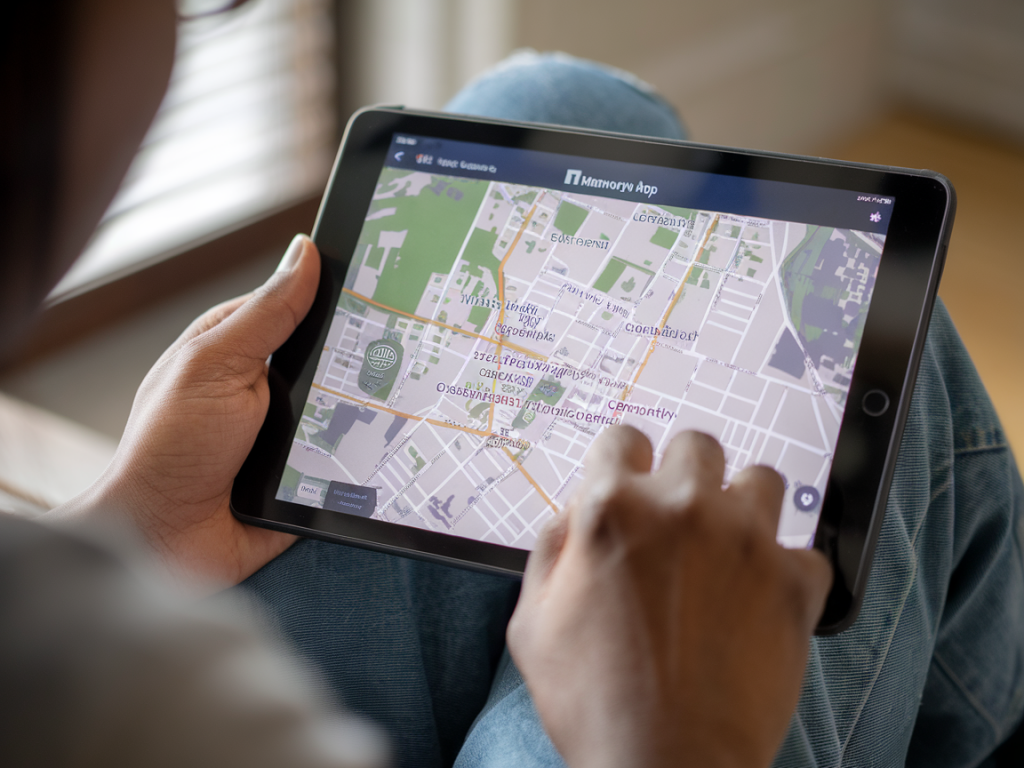
Imagine MemoryMap as a lightweight platform that combines geolocated oral histories, photographs, scanned documents, and crowd-sourced annotations. It sits between a formal archive and a messy community memory. The value is twofold: it democratizes documentation, and it creates an assemblage of evidence that can be read by historians, community organisers, and — importantly — legal advisers.
Why displaced communities need this
When people are displaced — through redevelopment, conflict, gentrification, or environmental disaster — the paper trails that prove ownership, tenancy, and the social role of a property are often scattered or destroyed. A neighbour’s rent book, a photo of a shopfront, or a child’s school certificate tucked away in a shoebox may be the only surviving traces. An app like MemoryMap creates a central, accessible place where those fragments can be digitised, geo-referenced and linked together.
Ways MemoryMap helps claim lost property histories
- Collective evidence-building: Individuals can upload photos, scans and audio that, when combined, reconstruct a chain of occupancy or use.
- Temporal layering: Users can layer images and testimonies across decades, showing continuous use or changes to a property that speak to historical claims.
- Provenance trails: Metadata and contributor notes help establish provenance in a way that a single anonymous file cannot.
- Public visibility: Mapping a property within a visible public archive counters erasure by making histories discoverable.
- Legal-ready exports: The app can produce PDF bundles or certifiable timelines that are easier to present to solicitors or tribunals than a folder of disparate files.
Practical features that make a difference
Not all archive apps are equal. From projects I’ve seen, the following features turn MemoryMap from a neat idea into a practical tool for claiming histories:
- Geo-tagging with old maps: Allow users to overlay historic maps (Ordnance Survey extracts, Sanborn maps, cadastral plans) so a current building can be matched with its historical footprint.
- Oral history recording: Built-in audio recorder with transcription options (automatic via services like Google Speech-to-Text or Whisper) to capture testimonies linked to locations.
- Versioned uploads: Maintain versions of documents and photos so changes to claims are auditable.
- Role-based permissions: Community curators can validate or annotate uploads to create a form of peer review.
- Export and certification: Ability to export curated sets with time-stamps and contributor metadata to PDFs or CSVs for legal or advocacy use.
Real-world scenarios
Here are concrete situations where MemoryMap can be decisive:
- Post-disaster claims: After floods or fires, residents can rapidly upload pre-disaster photos and utility bills confirming occupation.
- Gentrification disputes: Tenants can document long-term tenancy, shop usage and community functions that may be overlooked in planning hearings.
- Conflict restitution: Displaced families can gather early 20th-century deeds, family photographs and eyewitness accounts to rebuild ownership narratives.
- Heritage recognition: Grassroots groups can map intangible heritage — festivals, craft workshops, rituals — that tie a community to a physical space.
Ethics, privacy and power dynamics
I’m always wary of technology that promises empowerment without grappling with harm. MemoryMap must be designed with consent, privacy and community governance at its heart. Questions to resolve include:
- Who controls access to sensitive uploads (e.g., personal IDs, vulnerable individuals’ testimonies)?
- How are contributions attributed and how can contributors retract material if necessary?
- What safeguards exist against co-option by developers, property speculators or authorities seeking to surveil communities?
Community-led moderation, granular privacy settings and transparent terms are essential. In some contexts, offline-first features (allowing data to be stored locally until contributors choose to publish) reduce risk.
Legal and institutional interfaces
MemoryMap doesn’t replace land registries or court filings, but it can translate lived evidence into forms that legal actors recognise. For example:
| MemoryMap output | Possible legal use |
|---|---|
| Timestamped photo series showing continuous occupancy | Supports adverse possession claims or tenancy disputes |
| Oral histories corroborated by utility bills | Evidence of habitual residence for restitution or compensation cases |
| Curated timeline with scanned deeds | Supplementary evidence for title research and probate cases |
Working with sympathetic law clinics or pro bono solicitors can help communities translate archive bundles into legal briefs. Partnerships with grassroots NGOs, like the UK’s Law Centres Network or international bodies such as the Centre on Housing Rights and Evictions (COHRE), can amplify impact.
Design and outreach: making the app actually usable
Accessibility matters. In my experience, successful community archives projects combine low-tech outreach with digital tools. MemoryMap should be paired with:
- Pop-up scanning days with volunteers, portable scanners and data-free upload stations.
- Workshops on oral history practice and metadata creation so contributors know how to make their uploads useful.
- Printed guides and an SMS-based portal for contributors without smartphones.
Examples and inspirations
Projects like Historypin, Citizens’ Archive of Pakistan, and Mapping the Void have shown different ways maps and memories can be combined. MemoryMap can learn from them: use open-source stacks (e.g., OpenStreetMap, IIIF image viewers), integrate transcription APIs, and design for sustainability — for instance, partnering with local libraries or universities for long-term hosting.
What remains crucial is not the slickness of the tech but the relationships it supports. An app that enables a grandmother to upload a photograph of a shopfront and tell the story of how her family ran that business for three generations does more than collect pixels: it re-places people in claims that matter. It makes history legible, communal and actionable.